


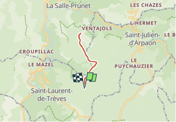

22 km | 29 km-effort


User


FREE GPS app for hiking
 SityTrail
IGN / Geographical institutes
SityTrail World
The world is yours!
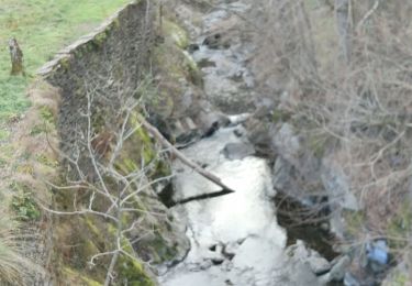
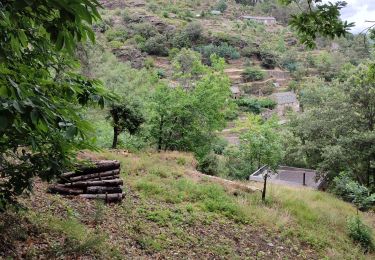
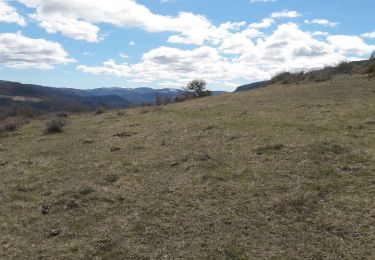
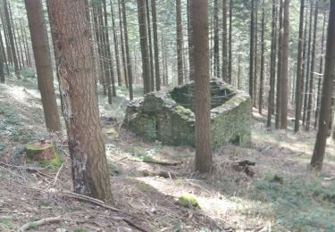
Trail Walking of 7.9 km to be discovered at Occitania, Lozère, Cans et Cévennes. This trail is proposed by Catherine_Castel.

Walking
On foot
Walking
Walking
Walking
Walking

Walking
Walking